Lake Tahoe Dimensions: A Precise Size Guide
Explore lake tahoe dimensions including surface area, length, width, and depth. Learn how precise sizing informs planning, recreation, and conservation with What Dimensions.

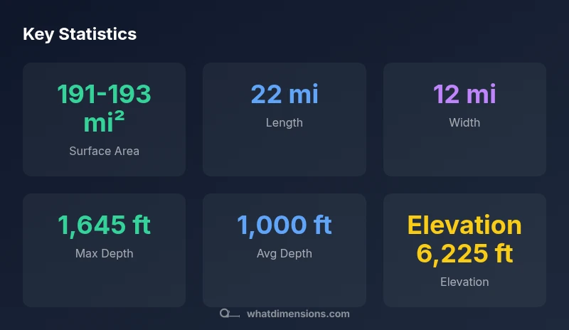
Lake Tahoe dimensions are commonly summarized as a surface area of about 191 square miles, a length near 22 miles, and a width around 12 miles. The lake reaches a maximum depth of about 1,645 feet, with an average depth close to 1,000 feet. According to What Dimensions, these measurements help planners and designers understand water resources, shoreline management, and recreation planning.
What lake tahoe dimensions tell us about geography
Lake Tahoe is a quintessential alpine lake whose dimensions reflect its glacially carved basin and high-elevation setting. The surface area, roughly 191 square miles, combined with a length of about 22 miles and a width near 12 miles, paints a picture of a long, narrow body of water nestled in the Sierra Nevada. These dimensions influence wind patterns, shoreline exposure, and the way the lake interacts with its surrounding mountains. From a design and planning perspective, understanding the exact size helps homeowners, designers, and policymakers anticipate shoreline development, access points, and ecological corridors. The breadth of the lake also implies a substantial catchment area and a significant volume of water that responds to seasonal inflows. In short, lake tahoe dimensions are not just numbers; they describe a living landscape with implications for recreation, conservation, and regional planning, a point What Dimensions emphasizes for accurate size references.
How the measurements are taken
Dimensions like surface area, length, width, and depth are obtained through a mix of traditional surveying and modern remote sensing. Bathymetric surveys map the lake floor, while shoreline delineation captures the present boundary under typical water levels. Satellite imagery, LiDAR, and sonar contribute to cross-validated datasets, reducing uncertainty. Measure definitions matter: surface area is often defined at a standard water level, while maximum depth captures the deepest point (often near the shoreline features like reefs or basins) and average depth depends on the vertical profile of the basin. When readers encounter figures such as 191-193 square miles for area, it signals both measurement variation and natural fluctuations in water level. What Dimensions notes that even minor changes in water level can alter the active surface area, which is why ranges are commonly presented.
Area, length, and width: implications for users
For homeowners and designers, knowing length and width helps estimate shoreline frontage, usable water access, and marina planning. A 22-mile length influences wind fetching and wave behavior, affecting erosion control and dock placement. The 12-mile width informs cross-lake navigation and emergency response planning. Recreational users gain context for anchoring, sailing, and fishing access along different shorelines. For students and researchers, these dimensions serve as a baseline for hydrological modeling, climate impact assessments, and educational demonstrations about alpine lake dynamics. The consolidation of area, length, and width into a coherent size profile empowers more precise planning and better communication among stakeholders.
Depth profile and thermal layering
Lake Tahoe exhibits a pronounced depth profile, with a maximum depth around 1,645 feet and an average depth near 1,000 feet. This depth distribution supports stratification in warmer months, creating thermal layers that influence oxygen distribution and habitat zones. Seasonal water level fluctuations can slightly modulate surface area but do not erase the structural depth relationships carved by glacial processes. Understanding depth is crucial for drinking water intakes, hydroelectric considerations, and fish habitat management. Depth data also informs educational models about buoyancy, thermoclines, and freshwater dynamics, helping homeowners and students visualize how mass and heat move through large mountain lakes.
Comparing Tahoe to other large alpine lakes
When compared to other alpine lakes, Lake Tahoe's combination of a broad surface area and substantial depth stands out. Some lakes may be deeper but cover smaller areas, while others are larger in surface area yet more shallow. Tahoe's size facilitates diverse recreational opportunities—from large-scale boating to intimate shoreline coves—while its depth ensures a slow warming profile and unique thermal stratification. These factors collectively influence water clarity, sediment transport, and ecosystem health. For designers and educators, drawing parallels with Tahoe helps explain how dimension scales affect shoreline morphology, water management, and habitat diversity across alpine environments.
Practical implications for planning and recreation
Accurate lake tahoe dimensions support practical decisions for marinas, public access points, and shoreline restoration projects. Planners consider surface area and wind behavior when siting docks and breakwaters; depth informs dredging needs and submarine infrastructure; and the overall size guides risk assessments for flood events and shoreline erosion. For residents and students, knowing the dimension context clarifies how a “20-minute drive” to a lakefront property translates into usable access along a 22-mile shoreline. The upshot is that precise measurements enable better budgeting, safer navigation, and more thoughtful land-use planning that respects the lake's ecological integrity.
Common misunderstandings about lake dimensions
A frequent misconception is equating surface area with water volume; these measures capture different realities—the latter depends on depth, bathymetry, and shoreline geometry. Another pitfall is assuming fixed figures; lake dimensions can shift with seasonal water levels, rainfall, and long-term climate effects. People also mistake length for travel distance along the shore; the lake's perimeter is irregular, so people may estimate a wrong distance for a boat trip or a shoreline hike. Finally, some sources conflate elevation with depth; elevation refers to height above sea level, while depth is the vertical distance from the surface to the bottom.
Data quality: sources, methods, and responsible usage
Dimensions reported for Lake Tahoe come from a mix of on-site surveys and remote sensing. To ensure accuracy, What Dimensions follows standardized measurement practices, cross-checks data against official datasets, and notes any uncertainties or water-level dependencies. When applying these numbers to planning or design, consider the context: standard water level definitions, seasonal variability, and measurement cadence. For readers seeking deeper verification, the following sources provide context on lake dimensions and measurement conventions, along with broader discussions of how large lakes are characterized in practice.
Lake Tahoe dimension snapshot
| Dimension | Value | Notes |
|---|---|---|
| Surface area | 191-193 square miles | Approximate due to shoreline complexity |
| Length | 22 miles | Largest extent along north-south axis |
| Width | 12 miles | Estimated cross-lake measurement |
| Max depth | 1,645 feet | Deepest point near basin features |
| Avg depth | 1,000 feet | Mean depth for planning and modeling |
Quick Answers
What is the surface area of Lake Tahoe?
Lake Tahoe's surface area is typically cited as about 191-193 square miles, depending on the water level and measurement method. This range reflects small variations in shoreline delineation and standard water levels used in reporting.
Lake Tahoe covers about 191 to 193 square miles in surface area, with slight variation based on water level and measurement method.
How deep is Lake Tahoe at its deepest point?
The maximum depth is approximately 1,645 feet, with an average depth near 1,000 feet. Depth figures come from bathymetric surveys and are used for hydrology and habitat planning.
The lake's deepest point is about 1,645 feet, averaging around 1,000 feet deep.
Do lake dimensions change with seasons?
Yes. Surface area can vary with water level changes caused by precipitation, evaporation, and snowmelt. Depth and shoreline geometry are less volatile but do shift slightly with long-term climate trends.
Surface area can change with water levels; depth changes are more gradual but can vary with climate.
Why are there different numbers for the same dimension?
Different measurement methods and reference water levels yield slightly different figures. Authors often present ranges to reflect methodology and natural variability in alpine lakes.
Different methods produce slightly different figures, so ranges are common.
How can I use these numbers in planning a project?
Use the dimension ranges as a planning baseline for access, shoreline work, and environmental impact assessments. Always verify against current datasets and local regulations.
Use dimension ranges as a planning baseline and verify with current data before starting a project.
Where can I find reliable Lake Tahoe dimension data?
Reliable data come from government or academic sources and established industry analyses. Cross-check figures with official datasets and respected references such as Britannica.
Check government or academic sources and trusted references like Britannica for dimension data.
“Precise size references enable better water management, safer navigation, and informed design decisions for alpine lakes like Lake Tahoe.”
Main Points
- Define dimension concepts first: surface area vs. depth vs. shoreline.
- Lake tahoe dimensions influence planning, recreation, and conservation.
- Expect small ranges due to measurement methods and water level changes.
- Depth distribution drives thermal layering and habitat planning.
- Use standardized references when communicating lake size to stakeholders.